Prediction of Shoreline Changes using Digital Shoreline Analysis System (DSAS) in Mantanani Island, Sabah
Keywords:
Digital Shoreline Analysis System (DSAS), Mantanani Island, shoreline changes predictionAbstract
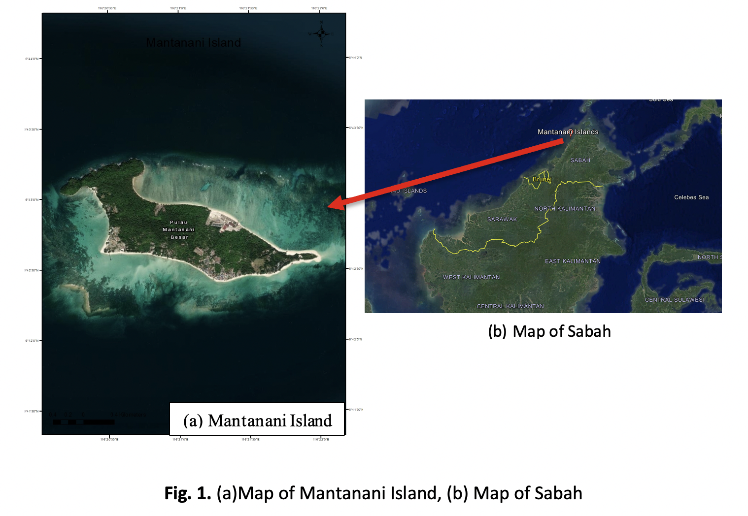
Small island coastlines are increasingly vulnerable to erosion due to the combined effects of hydrodynamic forcing, sea-level rise, and intensified human activities. Mantanani Island, a socio-ecologically important island system off the northwest coast of Sabah, Malaysia, has experienced pronounced shoreline instability in recent decades, yet quantitative erosion assessments remain limited. This study investigates historical shoreline changes from 2009 to 2023 using the Digital Shoreline Analysis System (DSAS) and integrated with satellite imagery. DSAS was employed to compute shoreline change statistics, including End Point Rate (EPR), and Linear Regression Rate (LRR), enabling robust spatial characterization of erosion and accretion patterns. The results show that the maximum and minimum EPR values are 5.39 and -2.91, respectively, whereas the maximum and minimum LRR values are 5.76 and -2.91, respectively. A negative value indicates erosion, and a positive value indicates accretion. Using historical data from 2009 to 2023, the predicted shoreline changes along Mantanani Island are 21.223 hectares for the next 10 years (2033) and 32.16 hectares for the next 20 years (2043). This study offers a valuable scientific basis for risk-informed coastal management, climate adaptation strategies, and sustainable planning for vulnerable island coastlines in Sabah and comparable tropical settings.