Soil Infiltration Rate at Various Elevations in Padende Sub-Watershed
DOI:
https://doi.org/10.37934/sej.16.1.106116Keywords:
Soil infiltration, elevation, watershedAbstract
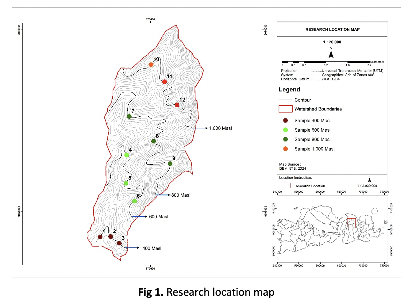
Infiltration is the process of surface water, such as rainwater, entering the soil vertically. This is important in determining groundwater availability, water resource management, and flood control. Low infiltration capacity results in higher surface runoff. Maximum infiltration occurs in elevated areas, typically sloped, bounded by ridges, and vegetated, such as forests. Elevation is closely linked to slope gradient. Steeper slopes, generally found at higher elevations, tend to accelerate falling objects due to greater gravity compared to flat terrain. According to the 2024 watershed status map issued by the NTB Watershed Management Agency, most of the Padende sub-watershed is protected forest, while 30% is used for other purposes. The objective of this study is to determine the relationship between infiltration rate and its influencing factors, such as porosity, texture, organic carbon content, and permeability across various elevations. PCA analysis showed that organic carbon (C-organic) has a strong positive correlation with specific gravity (r = 0.817), indicating that higher organic matter content correlates with higher specific gravity. C-organic also shows a moderate positive correlation with porosity (r = 0.513), suggesting that higher organic content is associated with greater porosity. Conversely, C-organic has a moderate negative correlation with infiltration rate (r = –0.583) and a weak-to-moderate negative correlation with bulk density (r = –0.370), implying that increased organic matter tends to reduce infiltration.