Slope Factor of Safety Assessment using Spectroradiometer Data and Unmanned Aerial Vehicle Imagery
Keywords:
Slope stability, factor of safety (FOS), vegetation indices (VI), unmanned aerial vehicle (UAV), spectroradiometerAbstract
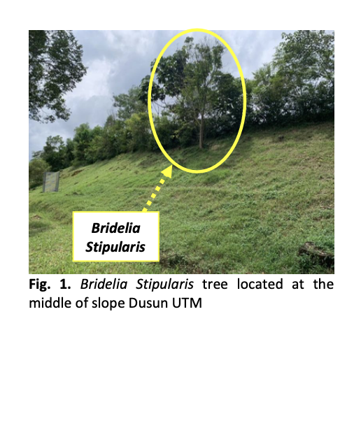
Slope instability is a critical geotechnical challenge in tropical regions, where intense rainfall and rapid land development frequently trigger landslides. In Malaysia, annual monsoon rainfall reduces soil shear strength, while deforestation and slope modifications further increase the risk of slope failure. However, conventional methods are often time-consuming and lack the capacity for real-time monitoring. By integrating remote sensing techniques, this study enhances the efficiency and spatial coverage of slope stability assessments while reducing the reliance on labour-intensive field investigations. This study aims to establish the relationship of the factor of safety (FOS) of soil slope with vegetation spectral analysis using vegetation indices (VI) and unmanned aerial vehicle (UAV) based on digital mapping. Over a six-month period (October 2023–March 2024) at Dusun UTM, the factor of safety (FOS) was evaluated alongside vegetation indices (VI) derived from spectroradiometer measurements. VI values ranged from 0.1 to 0.6, where higher values reflected denser, healthier vegetation. These higher VI values were consistently associated with FOS values between 3.0 and 4.0, representing stable slope conditions. Although indices such as NDVI and SAVI are widely used in vegetation monitoring, their direct application to slope stability assessment remains limited. This integrated monitoring approach demonstrates the potential VI values as proxies for slope stability assessment, offering a scalable method for early detection of slope weakening in tropical environments.